Precinct Maps
Information about these precinct maps:
The city and county precinct maps prepared by the Secretary of State's office are based on 2010 federal decennial Census Bureau boundary information and the city and county reprecincting plans approved by the Secretary of State's office. Most of these maps became effective January 15, 2012. Political subdivision boundaries may differ from those reflected here for a number of reasons. Check with the county auditor or city clerk for official precinct information.
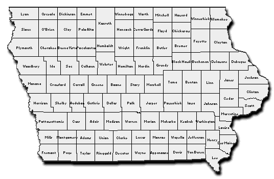
Please click on the county on the map or in the drop down menu.